
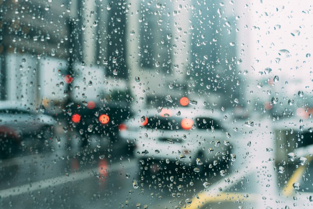
Sunday is set to be largely wet, with fresh showers dragging on into the evening as rain reaches Belgium from France.
After scattered showers and in Brussels and Antwerp on Saturday, fresh rain is set to fall across much of Belgium again today. The heaviest rainfall is expected in the south of the country with a possible risk of thunderstorms near the French border.
During the afternoon, much of the west and north of the country is set to clear up. Wounds will be weak to moderate at the start of the day, blowing west to south-west, then veering to the northwest over the north of the country and becoming variable in the south. Temperatures are set to reach 12℃ in the Ardennes and 17℃ in the Campine.
Related News
FPS Interior decided on Friday evening to temporarily activate the 1722 intervention number after the Royal Meteorological Institute (IRM) issued a poor weather warning. The IRM issued a yellow rain alert in Wallonia on Saturday morning, which will be in effect until Sunday at 21:00.
“The accumulation of precipitation may in places exceed 251 litres squared in 24 hours in the south of the Sambre and Meuse furrow,” the IRM warned.
The wet conditions will lead to the formation of fog over most of the regions on late Sunday night and Monday morning, potentially creating dangerous driving conditions.