
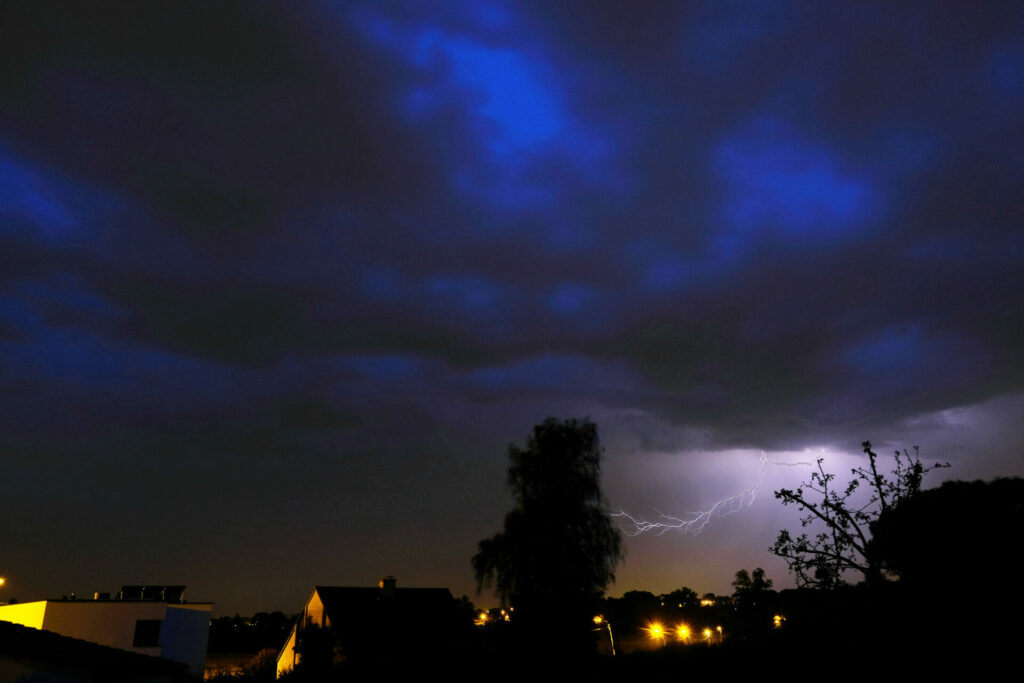
Rain will begin on Sunday afternoon, marking the start of a series of unsettled days with occasional clear spells but also showers, sometimes accompanied by thunderstorms, reports the Royal Meteorological Institute of Belgium (KMI).
More clouds will move in over the country on Sunday afternoon as a band of rain approaches from France. The heaviest rain is expected in the east and southeast, where severe thunderstorms and gusty winds are possible. In the west and central regions, the KMI predicts light to moderate rain and showers with a lower chance of thunderstorms. Maximum temperatures will range from 20-21°C at the coast to 26-27°C in the Kempen region. Gusts between 40 and 50 kilometres per hour or more could occur during heavy showers.
On Sunday evening, a few stormy showers may persist in the east, while elsewhere there will be widespread clear spells. Overnight in the west, more stormy showers are expected before becoming calmer and drier after midnight. Night temperatures will range from 13-17°C.
Monday, which is the national holiday, will begin with widespread clear spells in central and eastern areas. More cloud cover will be present in the west. The weather will gradually turn variable to often heavily overcast, with frequent showers. The likelihood of thunderstorms will increase in the afternoon. Maximum temperatures will reach 20 degrees at the coast and 24-25°C in the Kempen. Especially south of the Sambre and Meuse, gusts between 50 and 60 kilometres per hour are possible.
In the following days, the weather will remain unsettled with alternating clear spells and showers. Maximum temperatures are expected to hover around 22°C.
