
Europe’s snow cover is in steady decline and parts of the continent’s landscape are shifting measurably, according to two new data-driven “snapshot” stories published by the European Environment Agency.
The stories use satellite imagery and near real-time datasets from the EU’s Copernicus Earth observation programme, which collects information about the planet from space and makes it available for monitoring environmental change, the agency informed on Monday.
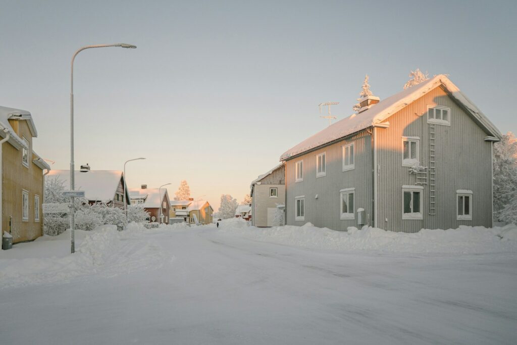
One snapshot focuses on snow cover, which the EEA described as among the clearest signs of climate change across Europe.
Snow seasons are becoming shorter and snowpacks are shrinking in many southern and mid-altitude regions, including the Alps and Pyrenees, it said.
The agency added that other areas, particularly in Scandinavia, have recorded unexpected increases in snowfall in recent years, alongside “high levels of interannual variation”.
Volcanoes, sinking land and shifting coasts
A second snapshot examines ground motion across Europe, where some regions are experiencing “measurable and sometimes rapid” landscape changes, the EEA said.
In Iceland, volcanic activity has reignited on the Reykjanes Peninsula after 800 years of silence, with implications for people and infrastructure.
The EEA also said some European coastlines face the combined pressures of rising seas and sinking land.
Ground movement can happen naturally — through tectonic activity, volcanic activity or glacial rebound — but can also be accelerated by human activities such as groundwater extraction, mining and urban development, it said.
The snapshot stories are intended to show how online land datasets and visual tools can be used free of charge by groups including academics, practitioners and journalists, with the EEA noting that the Copernicus Land Monitoring Service helps track how forests, cities, farmland and natural areas change over time.