
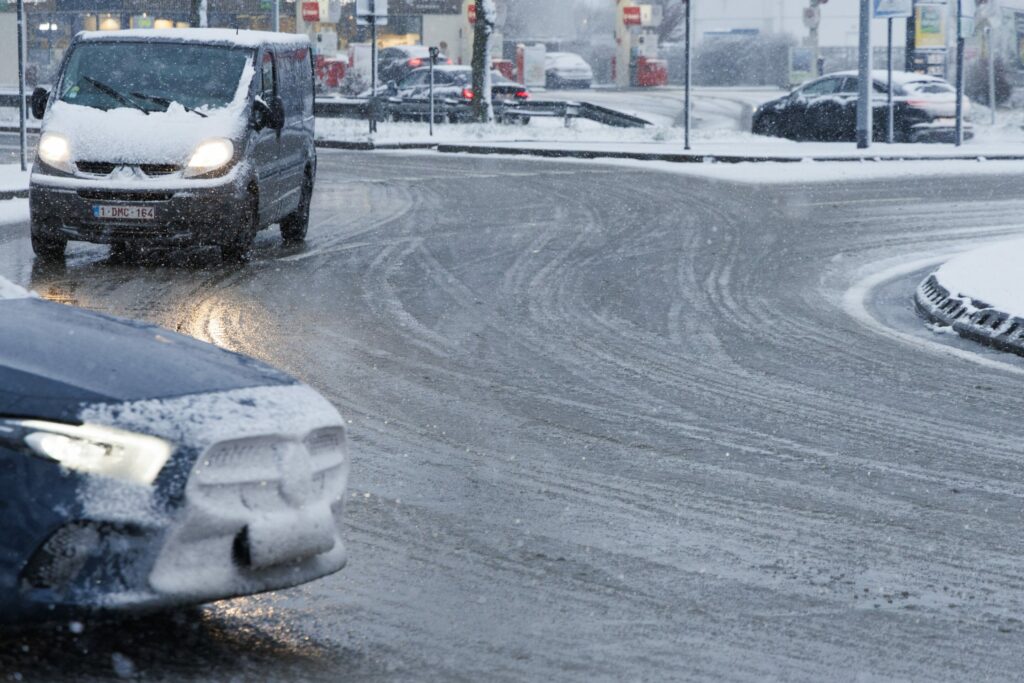
A yellow warning for slippery conditions remains in place across parts of Belgium on Friday, with freezing fog and a risk of snow expected in some regions, according to the Royal Meteorological Institute (RMI).
After a cold and mostly sunny start in the eastern half of the country, clouds will gradually spread nationwide throughout the day. Freezing fog is temporarily possible in the Ardennes this morning, while rain is set to reach western areas by the evening.
Temperatures will peak between 5°C in the High Ardennes and 10°C in Flanders and central Belgium, with light southwesterly winds strengthening to moderate. The yellow alert, issued on Thursday evening, is expected to remain in force until at least 11:00.
Overnight, skies will turn largely overcast as rain moves from west to centre and then eastwards by the end of the night. A few snowflakes could fall in the High Ardennes, while clearer spells are expected to develop along the coast before dawn. Minimum temperatures will range from 0°C inland to around 7°C by the coast.
On Saturday, rain will linger in central and eastern regions, with a continued risk of snow or sleet in the High Ardennes. Drier weather with sunny intervals will spread from the west later in the day, although some showers and possible hail cannot be ruled out. Temperatures will reach between 4°C and 10°C, with fairly strong winds along the coast and gusts of up to 50 km/h.