
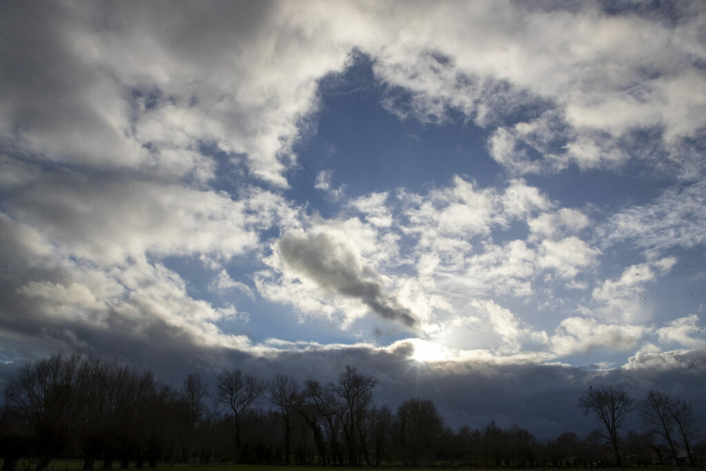
The weekend has been rainy and gloomy so far, but by Sunday afternoon, the weather is expected to improve, with the sun finally making an appearance.
The start of the weekend saw more weather warnings due to the heavy rainfall in certain parts of the country. However, by Sunday afternoon, extensive clearings will begin to form in the west and the showers will give way to predominantly dry conditions.
The temperatures are set to range between 7°C in the High Fens and 12°C in the west, the Royal Meteorological Institute (RMI) reported. However, winds will remain strong, shifting from west to west-southwest, with gusts potentially reaching between 60 to 70 km/h.
Sunday evening and night are expected to be changeable with occasional heavy clouds, and a few isolated showers might occur. Temperatures will drop to 5°C in the Ardennes to 10°C at the coast.
Monday morning starts with heavy clouds in the Ardennes and at the coast, but in other parts of the country, the skies are expected to be clear.
In the afternoon, cloud coverage will vary across regions with a greater chance of showers in the Ardennes and in the northwest, where some thunderstorms are possible. The highs will oscillate between 7°C in the High Fens and 12°C at the coast.
Related News
- Storm Ciarán claims 18th European victim, continent faces another storm
- Floreffe Wine Fair cancelled due to bad weather
Tuesday is expected to be partly cloudy with a few localised showers, again more likely to occur in the coastal region and the Ardennes. The southwest wind will remain moderate to fairly strong with gusts of 50 to 60 km/h.
Wednesday starts off with low clouds in the Ardennes and a few clearances elsewhere. However, the amounts of cloud will increase rapidly and a new rain zone is expected to reach Belgium from the west in the afternoon.