
The intensely hot summer that Belgium and the rest of Europe experienced this year is in complete contrast with that of 2021, characterised by severe floods. But both extreme phenomena are linked, according to experts.
"They are two sides of the same coin," says François Massonnet, a researcher and climatologist at UCLouvain, who says that both are due to a blocking phenomenon accentuated by the rise in temperatures observed over the last 30 years.
"Weather is dictated by the general atmospheric circulation; the configuration of low and pressures, and where and when they occur,” says Massonnet. “What happened this summer is that an area of high pressure – an anticyclone, one that brings us hot and dry weather – has been blocked for quite a long time on our regions and the consequence of this is that all the depressions, which bring us cooler and wetter weather, that arrive from the west and that should normally bring us rain, are sent elsewhere by the anticyclone.”
“We then speak of a blockage," he explains. "And so, when this anticyclone stays in the same place for a very long time, we no longer have precipitation, and it starts to be really dry and hot because the cloud cover is very weak with an anticyclone, and it is this persistence that makes us have a very hot and very dry summer."
Related News
- Solar panels on the roof of roughly one in three Flemish schools
- 'Train bragging' on the rise as rail travel becomes more popular
- Climate change: How disasters are interconnected
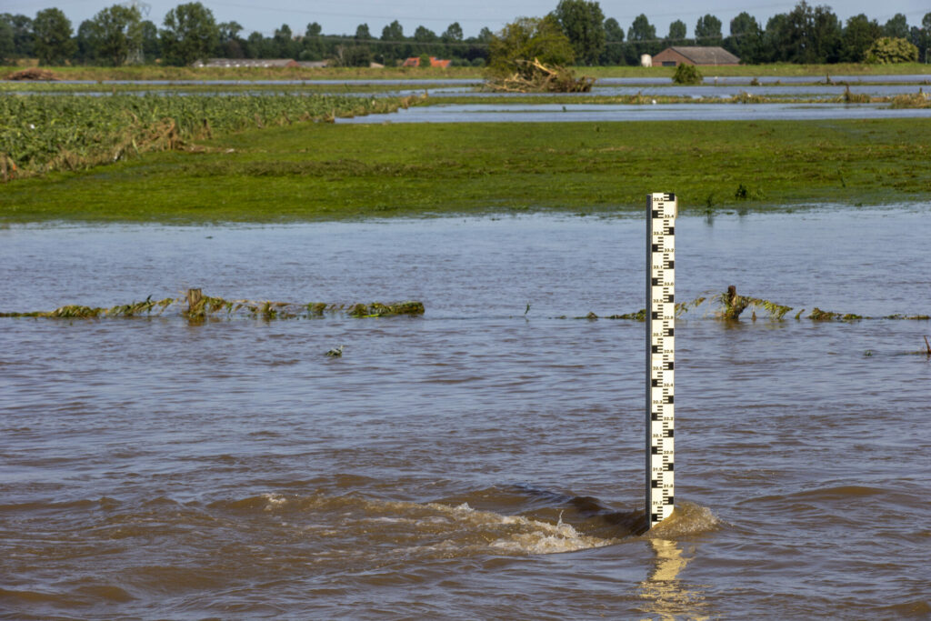
On the other hand, "in 2021, it was a big depression that remained anchored on our regions,” Massonnet says. “So, we also had an atmospheric situation that had been blocked, but which brought an area of intense precipitation that did not move. It stayed for three to four days over our country and started pouring all the moisture that was in the air column over parts of Belgium."
These deadlock situations are not new, says François Massonnet. "We have had them for a long time, and we will always have them."
"In the Arctic, it is cold; in the middle latitudes, it is much warmer; and since the Arctic is warming much faster than our regions, it reduces the atmospheric pressure that can become more sinuous and come to trap parts of Europe," he explains.
As to why it is an anticyclone that is blocked rather than a depression or vice versa, "it is completely related to chance because the atmospheric circulation is very chaotic, very variable".
The problem is that with global warming, and therefore the rise in temperatures observed over the last 30 years, "we notice that there is a repetition of these blocking phenomena that tend to last longer in time," explains Pascal Morman, a climatologist at Belgium’s Royal Meteorological Institute.
It is a "very worrying" phenomenon, according to Morman. "Belgium has a relatively oceanic, temperate climate,” he says. “So, it is very variable, with alternating rainy and sunnier weather. But there is a tendency to lose this zonal flow, so this oceanic flow that traditionally brings rain to the level of a south-westerly flow. We are more often confronted with meridian flows (south-north or north-south). But these flows, when they fall into place, can give very high temperatures that will stay in place longer in the same regions. Which wasn't necessarily the case before."
In other words, the cooler and more variable air that usually comes to us from the ocean today tends to come more often from the Mediterranean where the air is warmer.