
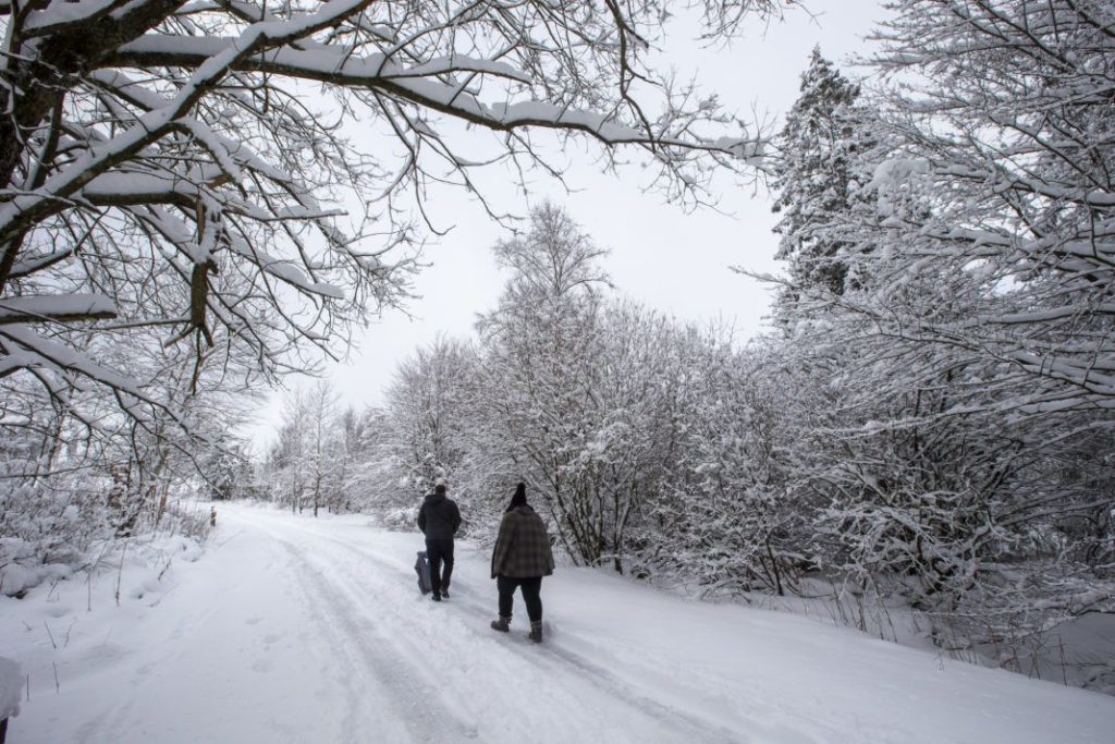
While most of Belgium is starting the week with plenty of wind and rain, snow is expected in the Ardennes building up to 10–15 cm, and locally even up to 20 cm, according to the Royal Meteorological Institute (RMI).
A lot of rain is expected in the northwest of the country and precipitation will freeze on the high plateaus in the Ardennes. In the late afternoon, sleet is also expected to turn into regular snow in the centre of the country.
The maximum temperatures are between 1°C in the High Fens and 6°C in Flanders, with the wind blowing moderately to fairly strong with gusts of wind of up to about 70 kilometres per hour, the RMI predicted.
Into the evening, it will continue to snow in the Ardennes, and periods of sleet or snow are expected in parts of Flanders. Temperatures across the country will drop below freezing in the night, falling between -2 and -4°C and bringing a danger of ice forming.
From Monday 07:00 to Tuesday 09:00, code yellow for "slipperiness" applies in almost all of Belgium, with a code orange in the provinces of Liège and Luxembourg.
"In the night from Monday to Tuesday it will freeze everywhere, so watch out for ice throughout the country," the RMI warned. "Particularly in the northwest (provinces of West Flanders, East Flanders, Antwerp) and the south (provinces of Namur and Luxembourg) of Belgium, precipitation amounts between 25 and 30 litres per square metres are possible by Monday evening."