
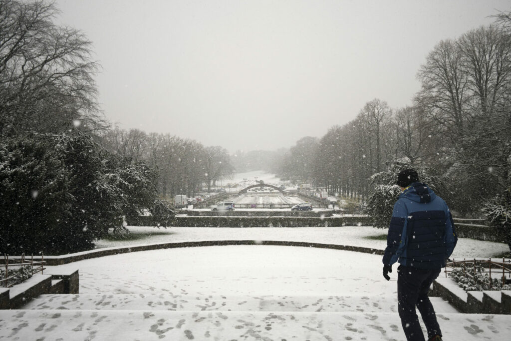
While some snow was already seen in some parts of Belgium this weekend, Wednesday is expected to see heavy snowfall in almost all of the country, including 10 cm or more in Brussels and Flanders, and up to 20 cm in Wallonia.
The snow zone will move into Belgium from the French border on Wednesday morning. Most of the snow is not expected to fall until the afternoon, particularly in Brussels and Flanders.
"Especially in the southeast of the country, a lot of snow will fall. That could be 20 centimetres or even more," said VRT weather reporter Jacotte Brokken, referring to the Ardennes.
"But 10 centimetres or more are expected to fall in the centre of the country (around Brussels) and in the northeast (the Limburg and Antwerp province)," she said. "From the Scheldt river to the coast, it will likely be more like just a few centimetres of snow."
Related News
- Slippery roads: Code yellow in Brussels, snow showers in several provinces
- How to avoid car trouble in sub-zero temperatures
While the southeastern part of the country will be affected most by the intense snowfall, "all regions will face problems," warned the Royal Meteorological Institute (RMI). "Warmer winds will sometimes transform the snow into rain that could later freeze over. Limit your movements, if possible."
Maximum temperatures will be just above 0°C on the coast, but closer to the freezing point in the rest of the country.
On Thursday morning, the snow zone will leave Belgium, followed by sunshine. However, a few wintry showers are still expected to move from the North Sea to the northwest of the country.
Update: On Tuesday, the latest RMI predictions showed that the snow zone had changed trajectory and could miss a large part of Belgium, meaning the expected snowfall in Brussels will be closer to 5 centimetres.