
Experts at the EU's earth observation service Copernicus are developing a new system to measure CO2 and methane emissions "in unprecedented detail and almost in real-time," the service announced in a press release on Tuesday.
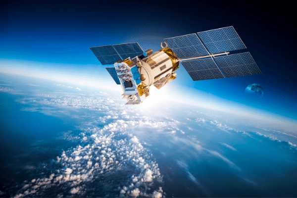
To do this, the European Space Agency (ESA) will collaborate with the European organisation for meteorological satellites (EUMETSTAT) to put in place a "constellation" of specialised satellites, Belga News Agency reports. "The satellites will even be able to spot individual sources of carbon and methane, such as power stations and places where fossil fuels are burnt," the press release stated.
The observations will the patterns of greenhouse gas emissions to be better understood, as well as how they interact with the atmosphere. A prototype of the tool is currently underway and the system should be operational by 2026.
Related News
- European space mission films Mercury for first time ever
- Multiple alerts to Belgian UFO hotline after satellite launch
- EU Space Programme’s €14.8 billion budget will include space security
Before then, the first global stock-taking of greenhouse gas emissions will be completed in 2023. This will evaluate the collective global progress towards the objectives of the Paris Agreement. A second evaluation will also be carried out.
"It is ever more urgent to take concrete measures to significantly cut emissions. By having access to precise data about greenhouse gas emissions, decision-makers will be able take stronger and more effective measures to tackle this challenge," Richard Engelen, deputy director of the Copernicus service said.