
While the rest of Tuesday afternoon is expected to remain dry and fairly sunny in Belgium, cloud cover will increase in the evening. Wednesday will again be overcast with snowfall, according to the Royal Meteorological Institute (KMI).
On Tuesday afternoon, there will be widespread clear spells, with initially more clouds and a chance of snow showers in the east of Belgium. By Tuesday evening, cloud cover will increase again along the coast.
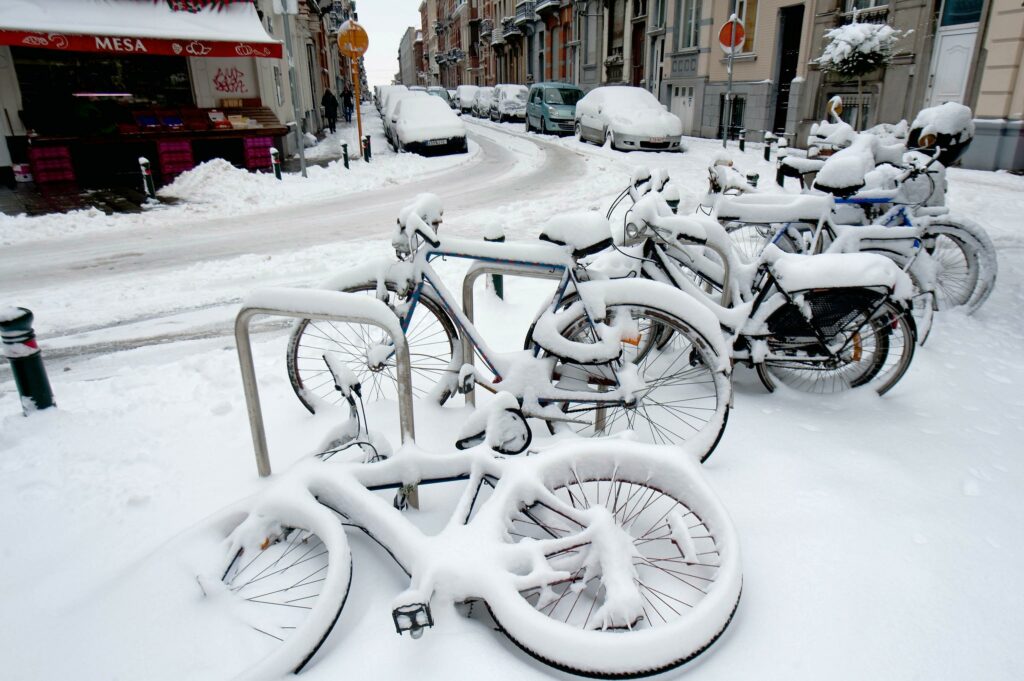
Maximum temperatures will range from -2°C in the High Fens, 0°C or 1°C in the centre of the country (including Brussels) and 3°C at the coast.
In the centre and certainly in the eastern half of the country, there will initially be widespread clear spells. There, in particular, people should be wary of slippery conditions due to fallen snow and freezing of wet road surfaces. Elsewhere, too, it may be slippery locally for the above reasons.
Eventually, it will become overcast across the entire country, and the RMI expects the first snow over the west at the end of the night and in the morning. This fresh snow may cause slippery conditions again.
Therefore, the RMI is extending its code orange warning for icy road conditions until the night of Wednesday to Thursday for all provinces, except the coast.
On Wednesday, the snow zone will move from west to east across the country, with up to 5 centimetres of fresh snow falling in most places. Again, it will be slippery in many places. As a result, the code orange warning for slippery conditions will be in place until noon in Flanders, Brussels and Walloon Brabant, and until the afternoon for the other Walloon provinces.
This will also be the case in the morning due to patches of ice, especially in the centre and east of the country. After the snow zone has passed, it will be mostly dry from the west, but there will still be many low clouds.
Re-freezing rain
More snowfall is still possible on Wednesday afternoon, but as the day progresses, the chance of this will steadily decrease. Maximum temperatures will range from 4-5°C at the coast, 1°C in the centre, to around -4°C or -5°C in the High Fens.
In the evening, clear spells and dry weather are expected. Locally, it will be slippery again due to re-freezing wet road surfaces or snow that has already fallen. In the south and especially the east of the country, the chance of a few snow showers will persist until the morning.
On Thursday, it will be mostly cloudy with light precipitation in the form of snow or (freezing) rain. During the day, southern and central Belgium will see mainly light rain or drizzle.
In the late afternoon or evening, a more active disturbance will reach Belgium from the French border, bringing gradual rain to all regions, although winter precipitation may still fall temporarily in the Ardennes.
On Friday, a storm depression will pass over or just north of Belgium, accompanied by strong winds. Inland, the wind may temporarily become strong, while on the coast it will be stormy with gusts of 70 to 100 km/h, locally possibly even higher.
Around the centre of the depression, there will also be a very active disturbance bringing widespread precipitation.