
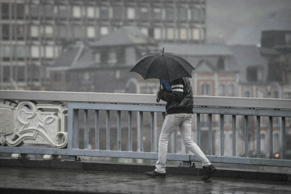
Saturday will bring rain and possibly thunderstorms, moving from the west towards the rest of the country by the afternoon, according to the Royal Meteorological Institute (RMI).
The day will begin with occasional clear spells and higher clouds, which will increase later as a weather system approaches from the west and France. Rain, or showery precipitation, will begin reaching the western regions around midday and spread eastward through the afternoon.
Temperatures will rise, with highs of 15°C along the coast, 19–20°C in central areas, and up to 21–22°C in the Kempen region. Winds will strengthen along the coast in the afternoon, with gusts possibly exceeding 60 km/h during showers.
By evening, broader clear spells will emerge in western areas, while the east will remain heavily overcast with possible thunderstorm-like rain or showers. Overnight, most regions will see light cloud cover, with occasional high-altitude clouds, though the southeast will retain significant cloudiness. Minimum temperatures will range between 2°C and 6°C.
Sunday will begin with hazy sunshine before giving way to alternating clouds and possible showers in the northwest. Daytime highs will vary from 10°C in the Ardennes to 14–15°C in Flanders and central regions.
On Monday, rain is likely in eastern areas, with temperatures ranging from 8°C to 14°C. A milder trend will follow on Tuesday and Wednesday with more sunshine and maximum temperatures reaching up to 18°C.