
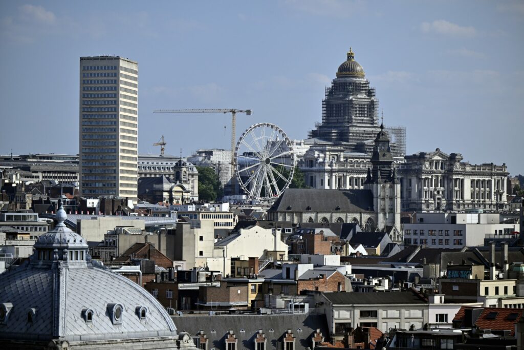
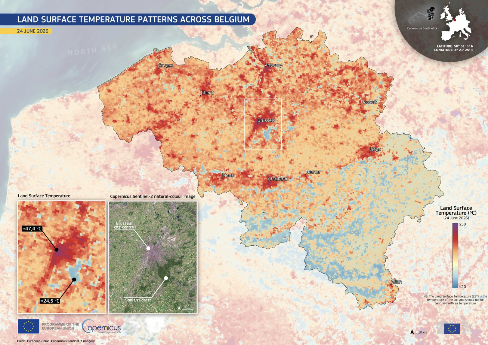
A temperature difference of almost 23°C between Brussels city centre and the nearby Sonian Forest has laid bare the dramatic impact of the urban heat island effect as Belgium endures this week’s heatwave.
Satellite data from the Copernicus Sentinel-3 mission captured on 24 June recorded land surface temperatures exceeding 47°C on sealed urban surfaces in Brussels, while temperatures beneath the tree canopy of the Sonian Forest reached just 24.5°C.
The images were taken on the same day Belgium issued a national heatwave alert, with air temperatures expected to climb to 38°C.
The striking contrast illustrates the urban heat island effect, whereby densely built neighbourhoods become significantly hotter than surrounding green areas. Concrete, asphalt and buildings absorb and store solar heat during the day before releasing it slowly at night, while trees and vegetation cool their surroundings through shade and evaporation.
It is important to note that the Copernicus figures measure land surface temperature rather than air temperature. While the two are different, surface temperatures strongly influence the thermal environment experienced by people in cities, particularly in neighbourhoods dominated by roads, pavements and buildings.

Running in the Sonian Forest. Credit: Visit Brussels/Jean-Paul Remy
Unequal exposure to heat
The latest satellite observations come as a new analysis by the European Environment Agency (EEA) highlights that the impact of urban heat is not shared equally across Brussels.
According to the EEA, Brussels is among a small number of European cities where people born outside the European Union are disproportionately living in neighbourhoods most exposed to the urban heat island effect. The agency also found that people not in employment are slightly overrepresented in the city’s hottest areas.
“The analysis shows that in some cities, specific population groups are disproportionately exposed to the urban heat island effect,” the EEA says, stressing that understanding these patterns is essential for designing effective climate adaptation policies.
The agency examined demographic data across dozens of European cities and compared it with urban heat exposure. While southern cities such as Malaga, Athens and Genoa remain the most heat-exposed overall, Brussels stands out because of the unequal distribution of heat risk within the city.
Credit: European Environment Agency
Green infrastructure as a solution
The findings add to growing evidence that climate change and social inequalities increasingly overlap in urban areas. According to the EEA, reducing heat exposure will require sustained investment in green infrastructure, including more trees, parks, shaded public spaces and cooling corridors, as well as urban planning that places people’s health at the centre of adaptation strategies.
The nearly 23°C difference recorded between Brussels’ built-up city centre and the Sonian Forest offers a stark demonstration of how much vegetation can cool an urban environment — and of the role nature could play as heatwaves become more frequent and intense across Europe.