
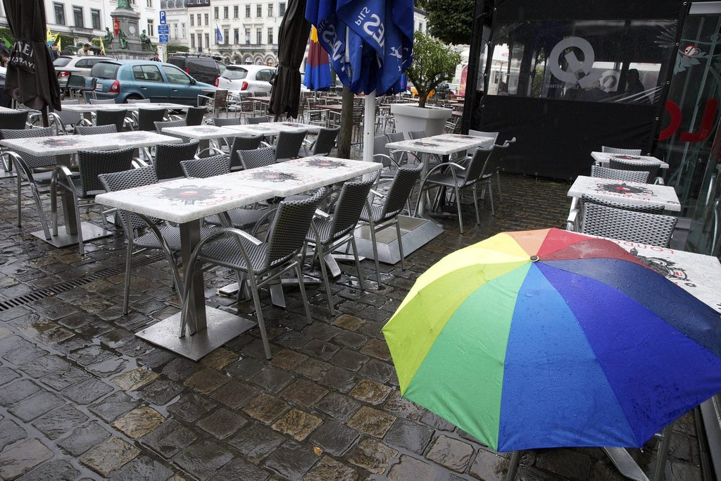
Sunday will begin drier, but the Royal Meteorological Institute forecasts rain and stronger winds later in the day, with unsettled but milder weather to follow this week.
The morning will be partly to mostly cloudy. In the east and centre, there is a chance of light rain or a few showers, while the west should stay drier with some sunny intervals.
During the afternoon, a weather front will move in from the west, bringing overcast skies and spells of rain across the country. Maximum temperatures will range from about 7°C in the High Fens to 10°C or 11°C in Flanders.
Related News
- EU 'seriously concerned' about weather in Gaza
- What to do in Brussels this weekend: 6 - 8 November
- Morning fog gives way to dry, rainy Saturday
Winds will strengthen from the south, becoming moderate and locally fairly strong, with gusts of around 50 km/h.
Sunday evening and overnight will be very changeable, with periods of rain and showers that could turn heavy. Some showers may also bring thunder, strong gusts and small hail.
Overnight temperatures will fall to between 5°C and 9°C. Winds will be brisk, moderate and at times fairly strong, turning from south-south-west to west, with gusts of around 50 km/h and 60 to 70 km/h during showers.
Monday will start with further showers, but conditions should turn drier from the west during the afternoon, with more clear spells developing. Highs will range from 5°C to 9°C.
Rain is expected to return on Monday evening.
From Tuesday to Thursday, the weather will remain unsettled and windy, with rain or showers and a risk of strong gusts. However, it will stay relatively mild, with maximum temperatures between 7°C and 13°C.
