

Following a few warm days, the summer season has now officially started, with temperatures expected to climb as high as 32°C in Brussels on Tuesday. Is this the start of a heatwave?
With temperatures around 28°C over the weekend, and even peaking at 31°C locally on Monday, some are wondering if the year's first heatwave is in the cards for Belgium.
"A warm high-pressure system, both at ground level and higher up in the atmosphere, is bringing calm weather to much of Europe. As a result, temperatures are rising to 30°C and above in many places, even in the United Kingdom," according to the NoodweerBenelux weather service.
Various parts of France are becoming very hot as well (with a yellow weather warning in force), and some parts of Spain might even see temperatures climb up to 40°C.
"It is also warm in Belgium, the Netherlands and Luxembourg, but not quite as extreme," the weather service said. "By the end of the week, the influence of the high-pressure system will diminish, and temperatures may drop slightly while the chance of showers increases."
High pressure takes centre stage
Belgium has been plagued by numerous weather disturbances bringing rain, hail and thunderstorms in recent months, including an unseasonably cold spell, but the country has been experiencing exactly the opposite in recent days.
The high-pressure system to the south, also known as the Azores High, has been taking centre stage here since Saturday.
The Azores High causes warm air from North Africa to flow towards western Europe. Combined with dry weather, light winds and sunny days, temperatures are therefore rising rapidly.
As soon as weather models start indicating temperatures of 30°C and higher, people are quick to think of heatwaves. And while it is still early in the year for it to happen, it is not impossible.
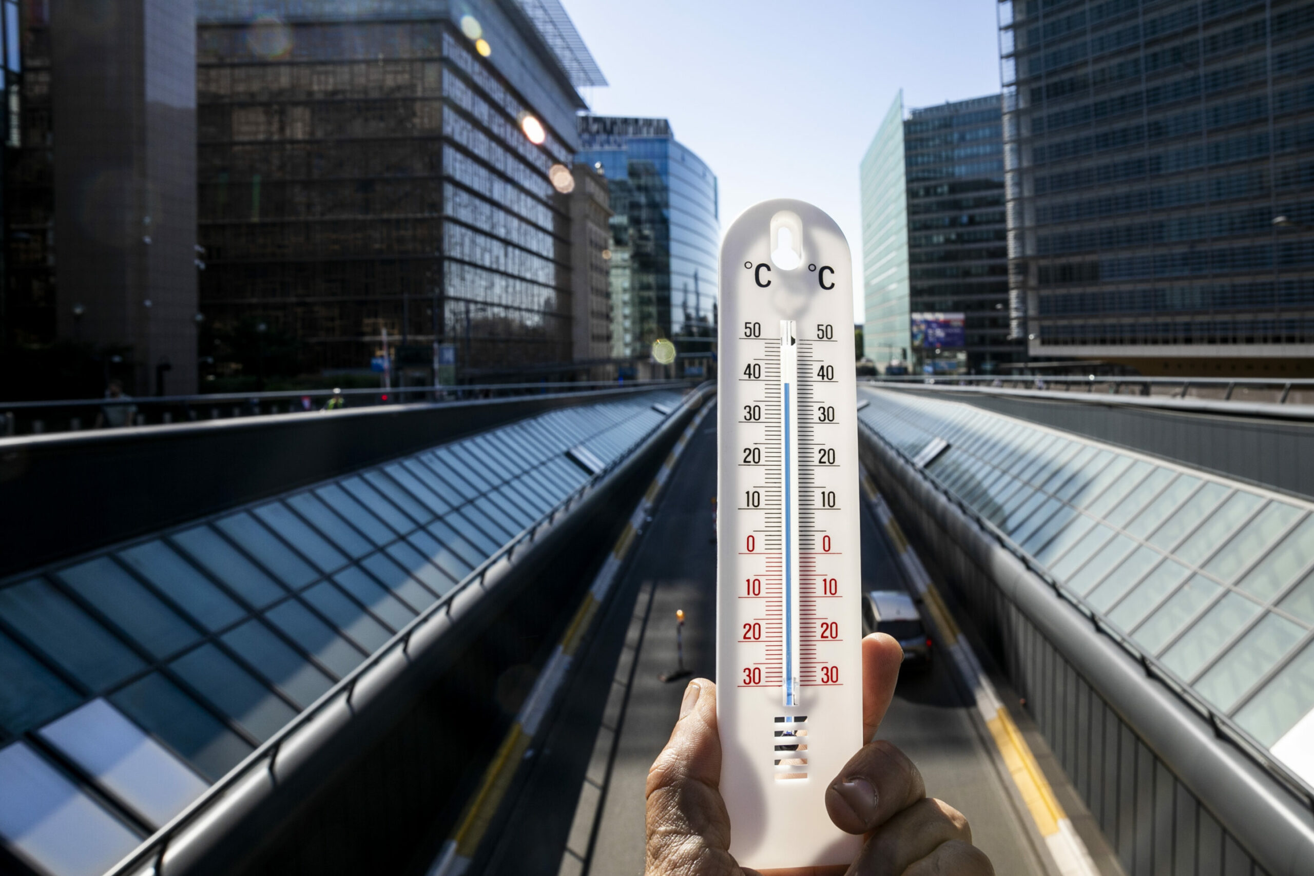
Illustration picture shows a thermometer nearing 40°C during a heatwave in Brussels on Tuesday 19 July 2022. Credit: Belga/Hatim Kaghat
Officially, the Royal Meteorological Institute (RMI) defines a heatwave as a series of five consecutive days where the maximum temperature exceeds 25°C. Of these five days, at least three days have to be tropical (at least 30°C).
A national heatwave is declared when these conditions are met at the official weather station in Uccle.
On Saturday 23 May, the maximum temperature measured in Uccle was 29°C, and 28.7°C on Sunday 24 May. On Monday 25 May, a maximum temperature of 29.3°C was recorded - falling short of the 30°C threshold.
However, if at least 30°C degrees are also measured on Tuesday, Wednesday and Thursday, Belgium will officially be going through a heatwave.
With forecasts of up to 32°C, the threshold will almost certainly be met on Tuesday, but temperatures are expected to drop slightly from Wednesday onwards, with maximum temperatures between 25°C and 28°C.
Summery and dry
The European ECMWF weather model is clear: it will be very warm this week, but we should not expect a heatwave just yet.
The wind direction also appears to be a factor: due to the position of the high-pressure area, the wind is blowing weakly from a (slightly cooler) northerly or north-easterly direction. Temperatures are therefore expected to fluctuate between 25–28°C for most of the week – not high enough to officially declare a heatwave.
"It is certain to be warm, even summery. Precipitation will also gradually ease off, leading to drier conditions. But a heatwave seems unlikely for the time being," said NoodweerBenelux.
However, the weather service warned, a slight difference in the exact position of the high-pressure system could still cause temperatures to rise higher. A real heatwave is therefore not out of the question entirely.
Over the weekend, however, the weather will start to change gradually. While Saturday is expected to remain mostly dry with temperatures above 25°C and plenty of sunshine, Sunday might bring cloud cover, scattered thunderstorms and showers across the country.
