
A rain front will move slowly towards Germany on Saturday morning, bringing potential for melting snow or snow in the high plateaus of the Ardennes.
Drier conditions are expected to move in from the west, accompanied by brighter spells. However, isolated showers may develop, possibly with small hail. Later in the day, showers are likely to focus in the western parts of the country, with temperatures ranging from 4°C in the Ardennes to 10°C in central Belgium, according to the Royal Meteorological Institute (RMI).
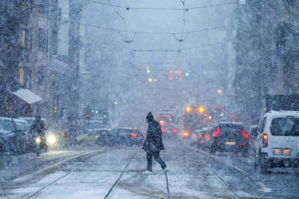
On Saturday evening and into the early hours of the night, intense showers with small hail or melting snow may occur in the west. These wintery showers will then shift eastward, losing intensity. Frosty and icy patches could create slippery conditions, particularly in eastern areas. Overnight temperatures are expected to drop to around -2°C in the Ardennes, 2°C in central Belgium, and 6°C along the coast.
On Sunday, low cloud cover and freezing mist in the Ardennes will lift quickly, leaving most of the day predominantly dry with sunshine and scattered clouds inland. During the afternoon, cloud cover will increase, and by evening a fresh rain front will reach the western regions. Highs will range between 6°C and 11°C.
Monday is set to be unsettled, with spring-like showers in lower and middle Belgium and wintery precipitation in the higher regions. Temperatures will vary from approximately 3°C in the High Fens, 9°C in central Belgium, and 10°C in the far west.