
French lightning detection service Meteorage recorded 1.9 million lightning strikes on the night of Saturday 27 June and Sunday 28 June, after they analysed the violent thunderstorms that ended the heatwave in the region.
Meteorage, a subsidiary of the French national meteorological service, focused its research on the Benelux, France, and western Germany.
They found that extreme weather systems triggered massive electrical activity following a late-June heatwave.
On Saturday alone, sensors logged 147,950 flashes in under 12 hours across the affected territories. Later that night, lightning strikes aggressively illuminated skies across Western Europe.
Footage circulating widely on social media showed iconic landmarks taking direct hits, including a strike on the Eiffel Tower in Paris.
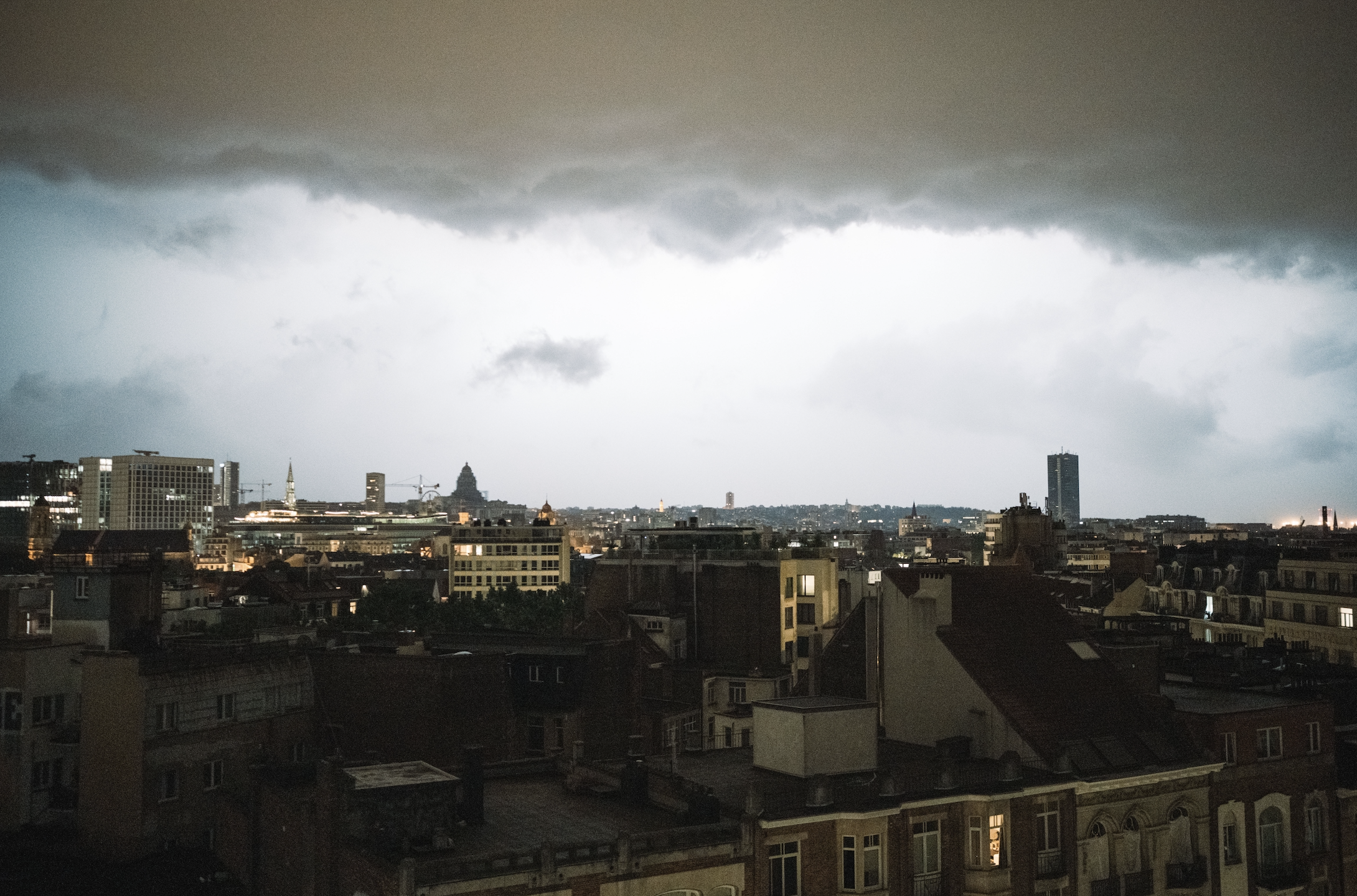
Throughout Belgium, an orange-level storm warning was issued by the RMI and all regions faced traffic disruptions, flooding and widespread tree fallings.
According to RTBF, over 8,800 lightning strikes were recorded across Belgium last Saturday night. One man was killed in Walloon Brabant after a tree fell on his car.
In Brussels, firefighters had to respond to around 120 emergency by Sunday afternoon with several streets flooded in Laeken and many trees toppled throughout various communes.
Regional parks and the Sonian Forest were closed on Saturday evening, while Couleur Café festival was forced to close its doors for the day.
According to Meteorage, massive storm fronts threaten critical infrastructure like power grids, aviation routes, and sensitive industrial sites.
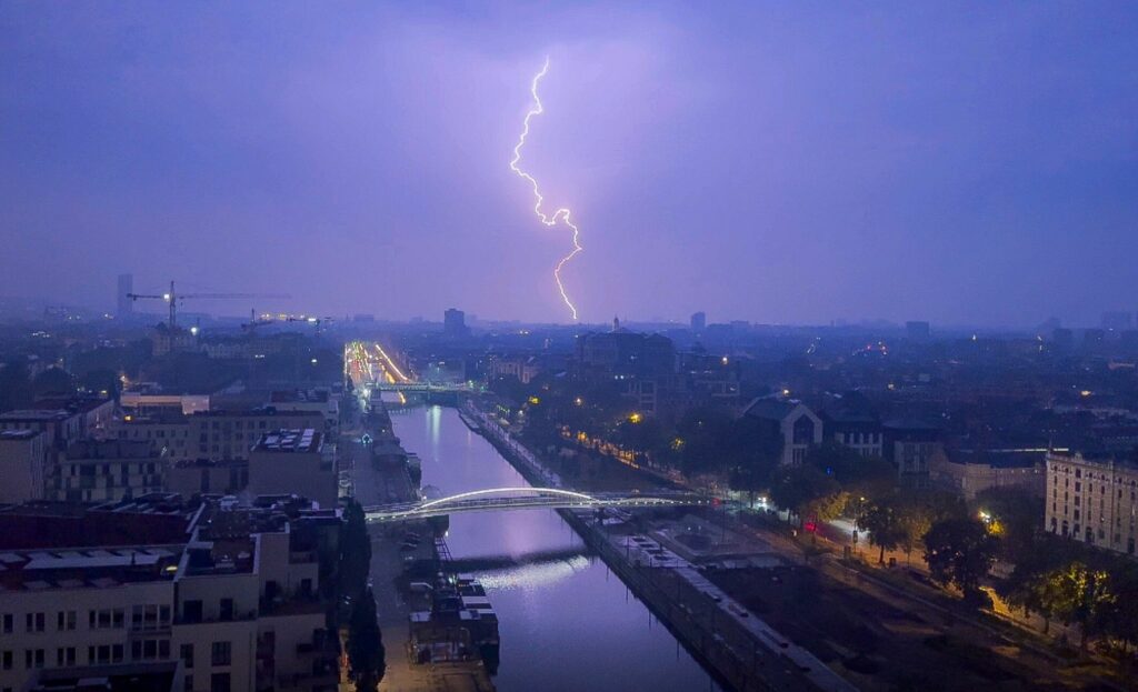
The thunderstorm rages over the city of Brussels at around 01:00 from Saturday to Sunday 28 June 2026. Credit: Belga / Marius Burgelman
Meteorage's expert Joris Royet attributed the extreme electrical output to specific atmospheric mechanisms that drive storm development as heatwaves subside. These post-heatwave events frequently rank among the most electrically active thunderstorms of the season.
Intense solar heating during prolonged hot weather supercharges the lower atmosphere with convective energy.
Scorching temperatures allow the surface air to absorb vast amounts of moisture, which creates a highly unstable, buoyant mass trapped beneath an atmospheric cap.
The pressure simply builds until the atmosphere boils over. Once the weather shifts, the stored energy violently propels the saturated air upward.
These rapid vertical updrafts force ice crystals to collide at extreme speeds. The resulting friction is what drives massive electrical charge separation and triggers an unprecedented amount of lightning strikes.