
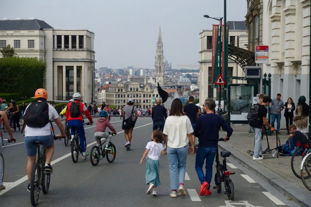
Motorists driving through the City of Brussels, located within the small ring road, will have to pay attention from Tuesday onwards, as it will become a low traffic zone in favour of pedestrians, cyclists and public transport, resulting in many traffic changes.
The new circulation plan for the "Vijfhoek (Pentagon) will use one-way streets and traffic filters to keep out unnecessary transit traffic (which accounts for 42% of today's vehicles), with the ambition of creating a more livable environment in the heart of the region, without isolating the various neighbourhoods, including Sablon, the Royal quarter and the Marolles, among others.
"The circulation plan will have a positive impact on both traffic safety and the accessibility of the Vijfhoek," Bart Dhondt, city councillor for mobility, who proposed the plan, said when the plans were announced in February. Here is a list of the streets that will be affected.
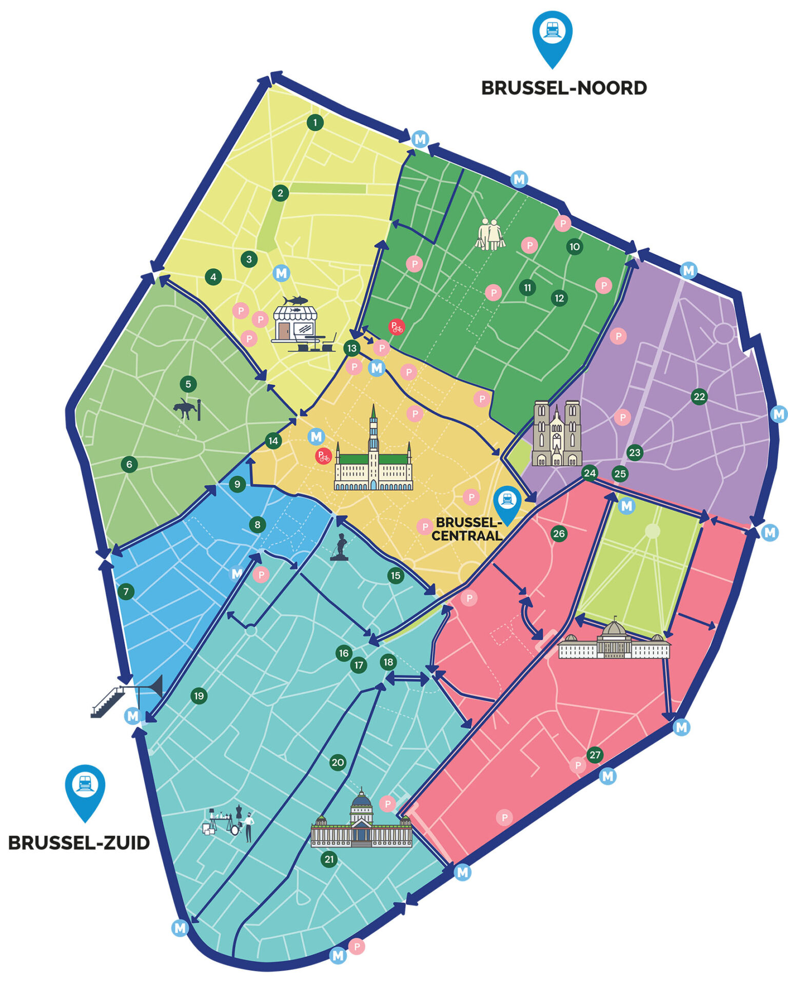
Brussels inner city, or the "Vijfhoek". Credit: City of Brussels
Dhondt explained that the thousands of cars that transit through the city centre to surrounding areas every day not only make the roads unsafe, they also create stress, traffic jams and air pollution.
Accessing the inner city by car remains possible but motorists whose final destination is outside the "Vijfhoek" are guided to the inner ring road. "With the circulation system, we solve this problem: we give the city back to the people who want to be here, who live or stay here."
A new parking plan will be introduced with adjusted rates to bring long-term parkers to public car parks, in turn ensuring there is less transit traffic in the streets, while the number of shared parking spaces will be increased.
Encouraging alternative modes of transport
As part of the plan, the city is also looking to tackle accident-prone zones to increase the safety of pedestrians in the "Vijfhoek".
This includes fixing the intersections between various streets that lead to the small ring road, including Port de Flandre near the canal, Rue des Cendres near Rogier and those between Rue Royale and Rue de la Loi.
"The City of Brussels' plans will provide safer school environments, quieter residential areas and cleaner air in the inner city," Regional Mobility Minister Elke Von den Brandt said.
Related News
- How Brussels got its mobility act together
- Brussels Government considers raising parking fees for residents
- Scourge of the streets: Brussels to introduce measures to curb scooter misuse
The space that is currently occupied by transit traffic will either be transformed for the creation of new infrastructure for cyclists, including increasing the number of bicycle stands and other parking possibilities.
In line with projects in other parts of the region, such as one in Montgomery for which works will begin at the end of this month, the bicycle infrastructure between Rue de la Loi and Bruxelles Chapelle as well as Boulevard Emile Jacqmain is set to be improved.
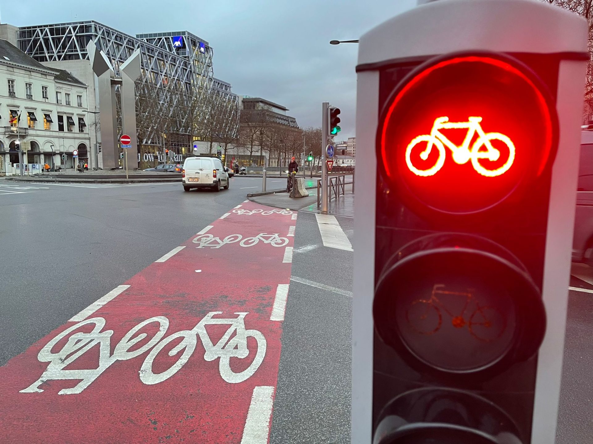
A cycling path in Brussels. Photo by Helen Lyons/The Brussels Times
To boost the mobility options for people travelling to and from the "Vijfhoek", the public transport plan has been strengthened, including the increased frequency of metro 6, of which many stations are located on the small ring road, as well as the reintroduction of bus 46, from Porte d'Anderlecht to the Northern quarter.
New tramlines will connect Rogier to Neder-Over-Heembeek and Belgica to the central station, while the new metro line 3 will connect the city centre with the south and the north, further improving the accessibility to the city centre.
Locals in the "Vijfhoek" were at the centre of the new scheme, and the city will ask for their participation after the introduction of the plann, especially when it comes to monitoring traffic for further improvements to be made, and for the filling in of space that will become available following the various interventions.