

With predicted maximum temperatures of up to 34°C, Belgium might soon officially be in the middle of a heatwave – if the weather forecasts hold.
While many Belgians are still reeling from the country's deadliest heatwave in recent history – with 1,747 more people dying than usual between 18 June and 1 July – just two weeks ago, it seems like the next one is already making an appearance.
Should this prolonged period of warm weather officially turn into a heatwave, it technically already began on 6 July – barely a week after the previous one ended. Since that date, the temperatures have been at least 25°C every day.
To officially be classified as a heatwave, temperatures at the measuring station in Uccle must remain above 25°C for at least five consecutive days, of which at least three must be above 30°C (called "tropical days").
The makings of a heatwave
Last Saturday, the 30°C mark was just missed: a maximum temperature of 29.9°C was recorded in Uccle. On Sunday, however, the temperatures did rise above 30, ending at 30.5°C.
According to the forecasts, there will be a few more tropical days this week: Tuesday should reach 32°C, while Wednesday and Thursday are also set to remain above 30°C.
Thanks to the breeze, temperatures are not going up as high as at the end of June, when some parts of the country suffered through 40°C heat. However, the wind is predicted to ease off towards the end of the week.
The heat will not ease across the whole country until Saturday.
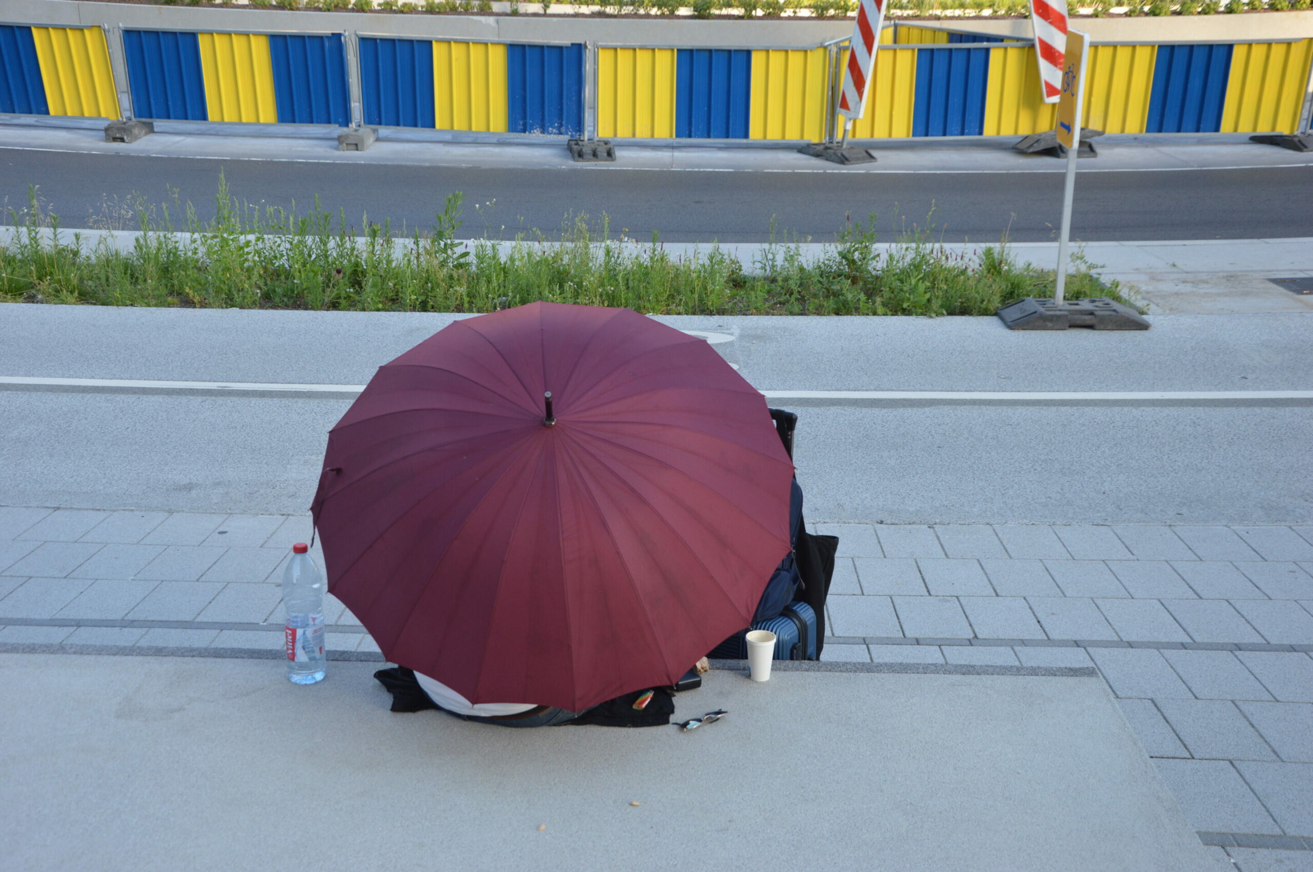
A man shelters from the stifling heat beneath an umbrella at Schuman roundabout in Brussels. Credit: The Brussels Times/Anas El Baye
According to the Royal Meteorological Institute (KMI), there is no need to sound the alarm: the institute is maintaining a code yellow alert this week. The warning, which has been in force since 4 July, has been extended until and including Friday for the whole of the country.
In practice, this means: extra vigilance to protect older and more vulnerable people, by ensuring they drink more and do not stay in direct sunlight.
Code orange is declared when the thermometer reaches 35°C or more; code red does not get triggered until 40°C.
Additionally, the warning phase of the Heatwave and Ozone Peaks Plan remains in place until the end of the week, the Public Health Ministry announced.
During this phase, local authorities and organisations such as home care services, residential care homes and childcare providers receive a warning email asking them to activate their internal heat action plans or take the necessary measures (adapting activities or implementing cooling measures) to prevent vulnerable people from overheating.
'Use common sense'
On Monday afternoon, however, the Agency for Nature and Forests is raising the wildfire alert level in Flanders from yellow (danger) to orange (high danger).
The agency said that the reasons for the upgrade are "the predicted heatwave and the lack of significant rainfall, causing the topsoil and vegetation to dry out".
The Agency for Nature and Forests recognised that forests can provide the necessary cooling through shade, but asked everyone to "use common sense" and "remain vigilant". People are also expressly asked not to smoke or light fires in forests and nature reserves.
